
South Africa
Elgin
South Africa wine regions
About Elgin
South Africa wine regions
Vintages
11 · 2015–2025
Outstanding Elgin Vintages
The best recent vintages rated excellent or exceptional.
White
The District
Classification System
South Africa's Wine of Origin scheme, instituted in 1973, demarcates where a wine may claim to come from: geographical units like the Western Cape, then regions, districts, and finally wards. A WO claim means 100 percent of the grapes grew inside the named area, with the certification seal numbered on every bottle.
Ward
The tightest demarcation, like Simonsberg-Stellenbosch or Hemel-en-Aarde Valley
District
The names labels lead with, Stellenbosch to Walker Bay
Estate / Single Vineyard
A registered contiguous estate, or a registered single vineyard of at most 6 hectares
What Elgin produces
White
Nervy Sauvignon Blanc, refined Chardonnay, and some of the country's rare serious Riesling, all built on cool-climate acidity.
Red
Fragrant, silky Pinot Noir and cool-climate Syrah in a light-footed, spicy style.
Grapes of Elgin
Climate
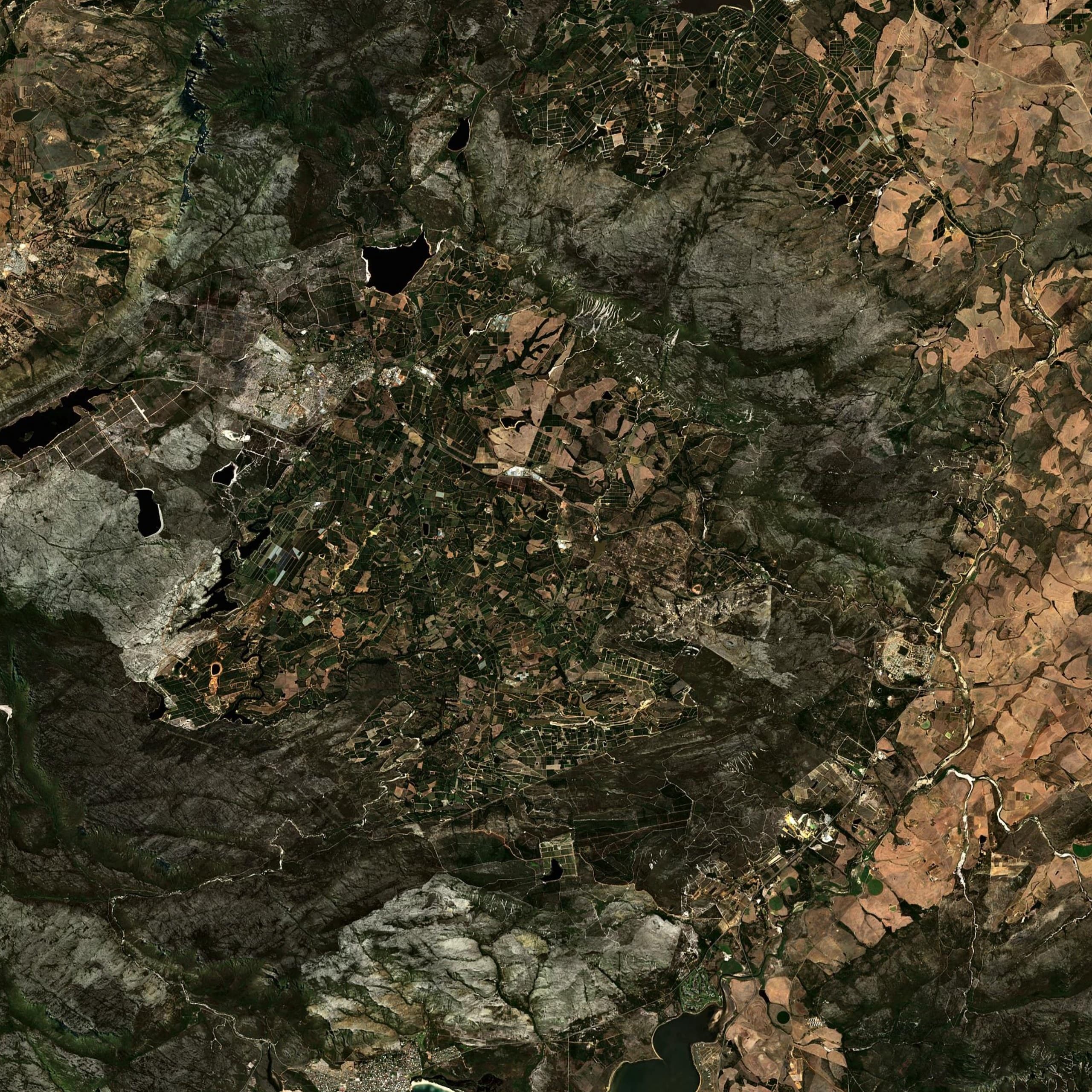
The coolest wine district in South Africa: the plateau sits at 200 to 400 metres and higher, ten kilometres from the ocean, with cloud cover, sea breezes, and regular summer mist slowing everything down. Harvest can run a month behind Stellenbosch. High rainfall and cool nights keep acidity naturally bright.
Terroir
A bowl of weathered Table Mountain sandstone and Bokkeveld shale, with patches of iron-rich laterite the locals call koffieklip. The shale pockets give Pinot Noir and Chardonnay their grip, while the sandier slopes make piercing Sauvignon Blanc. Orchards and vineyards interlock across the rolling plateau.
More in South Africa
Frequently Asked Questions
What makes Elgin wine special?▼
What grapes are grown in Elgin?▼
What are the best Elgin vintages?▼
What food pairs well with Elgin wines?▼
How does Elgin compare to Walker Bay?▼
Map data: Wine of Origin boundaries © WOSA / Western Cape Dept of Agriculture (Cape Farm Mapper) · Town boundaries Stats SA Census 2011 · © OpenStreetMap contributors (ODbL)